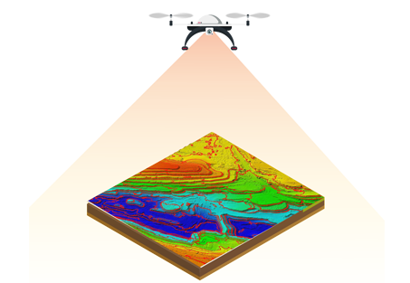
Aerial Lidar is an aerial mapping and Surveying technology that uses GPS-monitored aerial Drone/UAV, big drones equipped with on-board positional and sensors. After post-flight production processes, the acquired Lidar Map data is used to know the precise elevation and geospatial location of features on the earth’s surface.
Lidar data is an accurate and effective method for creating three-dimensional topographical aerial maps and highly accurate aerial surveys of both surface terrain elements and man-made structures. Airpix has developed a custom aerial Lidar Mapping and surveying production workflow which adheres to the specifications outlined in Base Specification Guidelines.
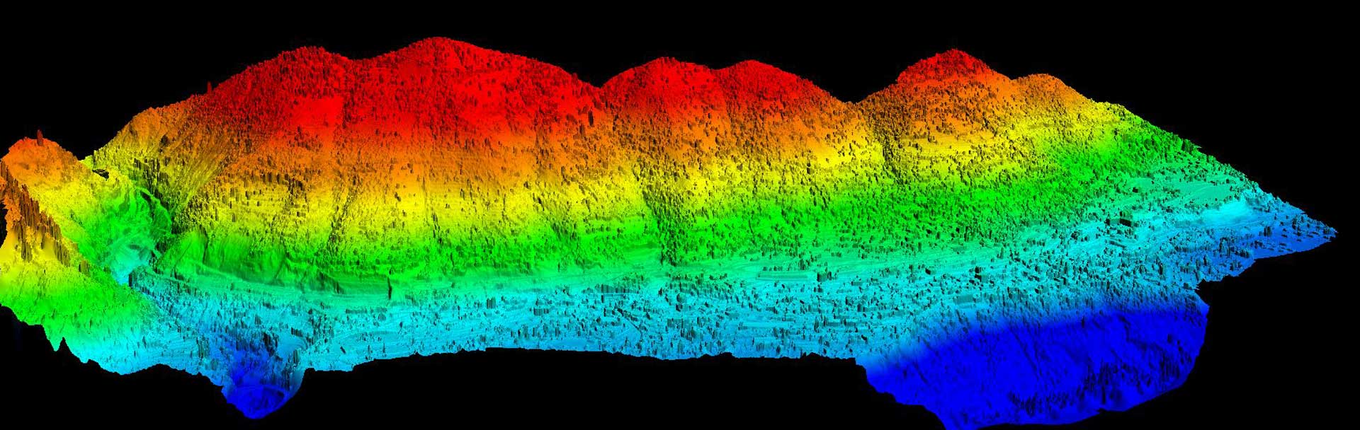
LIDAR data delivers valuable data source for mapping and 3D modelling of the Earth surface. Classifying LIDAR data for the purpose of extracting data from ground, vegetation, and buildings is a preliminary step of building 3D models.
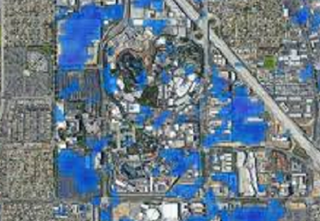
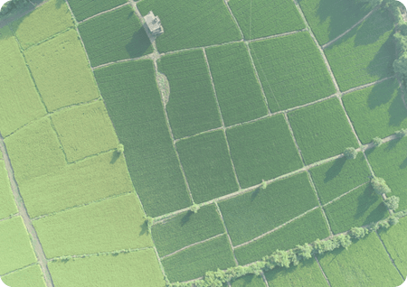
LiDAR helps to generate detailed maps of topography & retrieve digital elevation data. The use of LiDAR in disaster response helps in visualizing point cloud data that allows emergency responders to identify areas most affected by a calamity.
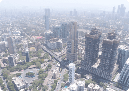
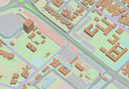
With LiDAR data, 3D city models can be generated. The 3D city models in urban areas are essential for many applications, such as urban development, disaster management, mapping of buildings and their heights, etc.
Using LiDAR to detect objects and create real-time 3D images, By adopting the technology in airports, the managing operators can observe and monitor passengers and development in motion inside their airport facilities
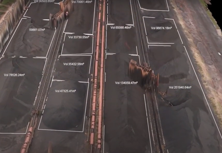
LiDAR produces a 3-dimensional point cloud of millions of points that gives spatial data on the scanned object, accurate to millimeters, in minutes. The point cloud can be exported, which then is analyzed by our experts.
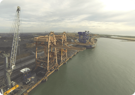
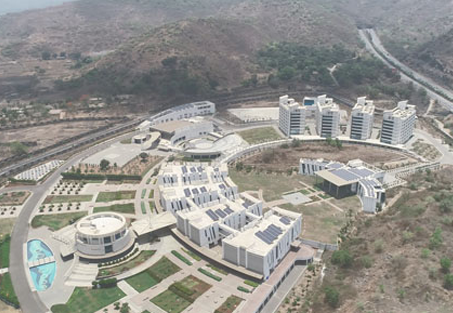
Aerial imagery provides a record of the earth's surface at an instant in time. Aerial photogrammetry offers help to communicate complex concepts or problems to developers, planners, decision-makers, and society at large.