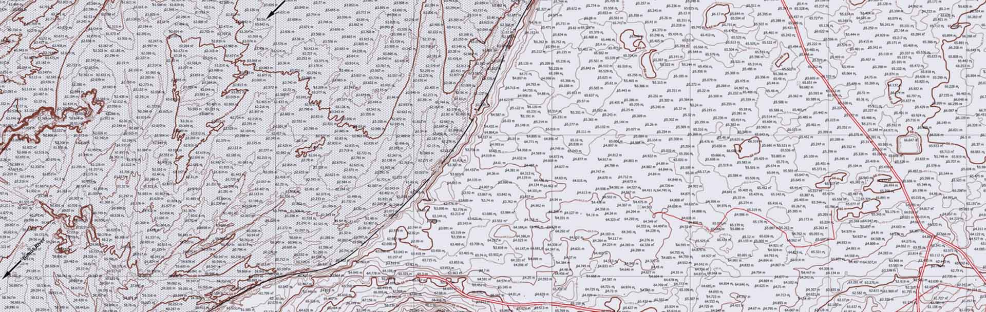
Maps are the first need for the beginning of any Engineering Projects, from small construction work to big mining and infrastructure projects. Most of these needs are standardly met by either GIS satellite imagery which is very inaccurate and obsolete or via conventional surveys using ground equipment which takes days to deliver the final outputs. Our UAVs applied to this application answer to all these problems and now one can get a high-resolution GIS map of acres of land within a few hours.
Over the years, GIS has greatly influenced the creation of mapping as an essential tool for solving problems. GIS information was traditionally based on a two-dimensional recording, which in most applications seemed to limit its use. Airpix provides GIS mapping services in India incorporating GIS 3D software customization with the entire experience, making it more personal and allowing for accurate visualization. Let's look at some of the 3D GIS applications.
A geographic information system (GIS) is a framework for gathering, managing, and analyzing data. Origin in the science of geography, GIS integrates many types of data. It breaks down the spatial location and organizes layers of data into visualizations using maps and 3D scenes. With this particular capability, GIS reveals accurate insights into data, such as patterns, relationships, and situation basically helping users make smarter decisions
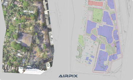
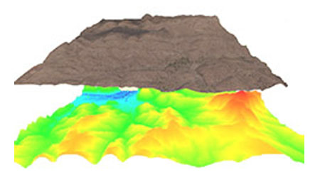
Compared to 2D maps, by incorporating another dimension, 3D GIS maps portray objects in more detail. Explanatory examples of the size of real-world artifacts are 3D software in GIS maps. 3D models enable presentation, a survey in a wide variety of different domains. For example, 3D maps that show the height and not just the location of a hotel or a mountain. The 3D tools have to be used along with 2D GIS and then drawn in a 3D setting.\nThere was a time when there was a need for more than one technology to display objects in a city's streets and locations. Current Geographic Information System (GIS) has altered geographic and earth science dynamics. Modern GIS interface helps its users not only to consider and analyze but also to handle geographical facts and figures with the growth of digital media.