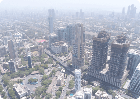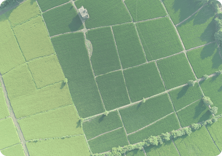
Airpix offers high end drone surveys for land Surveying, and GIS mapping solutions using its UAV surveys throughout India. Airpix’s drone mapping solutions allow stakeholders to receive accurate topographic maps delivered on time using photogrammetric software, along with updated Google Earth and GIS layers to generate orthophoto, base map, and volumetric analysis. Our customers get high-resolution actionable photogrammetry information, eliminating the need to wait for weeks to get traditional ground survey results or rely on outdated public maps.
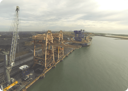
Our enterprise drone technology help our clients to map and plan for large scale infrastructure projects, digitize mining lease areas, monitor progress of critical infrastructure projects, smart cities planning and land record digitization. Our drone data management cloud platform helps you with easy drone data management, data visualization, collaboration and analytics report.
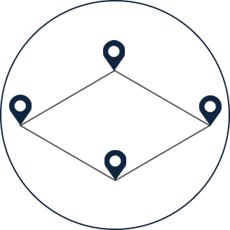
We strategize a systematic plan. Steps invloved are as follows - First and foremost we analyzie the area in terms of dimention where we have to carry out survey. Then the drone fles over that area then Data is being captured and is processed and results are delievered.
We have catered drone survey in various industries and sectors.
PLANNING

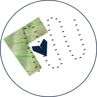
FLYING
PROCESSING
DATA
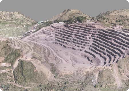
Point clouds are datasets that represent objects or areas. These points represent the X, Y, and Z geometric coordinates of a single point on an underlying sampled surface. Point clouds are a means of comparing a large number of single spatial measurements into a dataset that can then represent a whole.
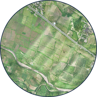
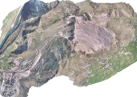
Orthoimagery is an image that has been collected via a drone in order to capture high-resolution photos of the Earth’s surface. The imagery has been orthorectified to create a uniform scale. The derived product is an exact representation of the Earth’s surface that can be used to measure true distances.
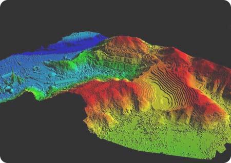
Digital Elevation Model i.e. (DEM) is the digital portrayal of the land surface elevation with consideration to any reference data. DEM is frequently used to refer to any digital representation of a topographic surface. DEMs are used to resolve terrain attributes such as elevation at any point, slope, and aspect.