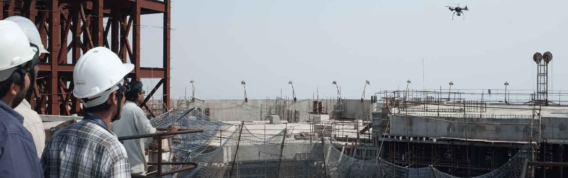
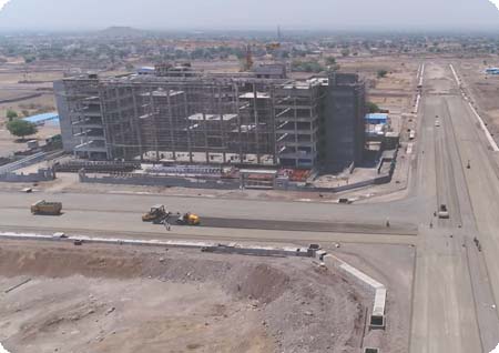
Drone survey and drone video based project progress monitoring is one of the most efficient and transparent way of project progress monitoring.
Drone images help to capture as-is status of the project site. Drone videos integrated with geotagged information and GPS details help project managers and higher management to easily understand the project progress of linear projects such as highway construction, railway line laying and oil & gas pipelines.
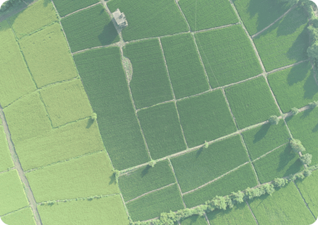
Development in drone techonlogy has changed outlook of project monitoring. Our drone survey based project monitoring solution helps client to measure the percentage of earthwork completed,
amount of black topping completed, milestones achieved with respect to deadlines and report to all the stakeholders
such as the project developer, nodal consultant, project management consultant and the Government bodies
Our drone video editing and collaboration platform helps to manage the drone videos easily, navigate through long
videos by searching keywords,
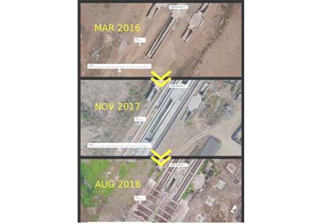
easily compare the status between mulitple dates and generate reports for quick project progress monitoring.
The collected data is being processed and an analysis can be performed by consultants and project managers.
ACQUISITION

PROCESSING

ANALYSIS

CONSULTATION
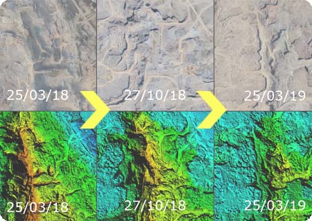
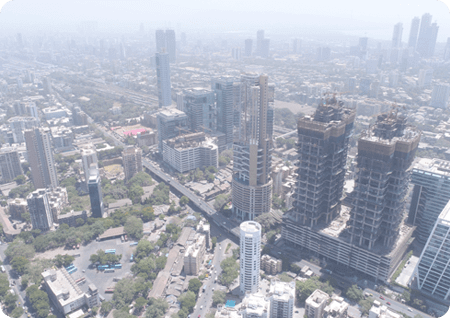
Drone based project monitoring provides information for 3D object creation and area's orthophotography map. The information can be continuously updated and stored as an online map on our cloud platform for interactive viewing of multiple project sites. This provides better control over the work progress and the ability to provide investors and clients with the most recent visual information. Airpix also equips and provides ease to the government agencies to detect illegal construction detection.
We record drone videos of project sites periodically and integrate the videos with the drone fliight paths and client data to help stakeholders to correlate the video footage with the exact location of the site so that project monitoring can be done even from office without having to go to the site. Our clients such as DFCC have been able to observe the bottlenecks and the project stoppage at various locations along the 500km length project just by browsing through Airpix drone video project progress monitoring solution
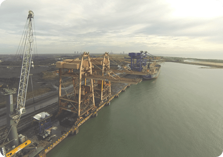
Using accurate aerial photogrammetry techniques, large areas can be scanned and measured within centimeter level accuracy in short span of time. Airpix's standard operating procedure developed over the years enable clients to get accurate cut fill estimation in large infrastructure and solar plant projects with minimal disruption to the day to day workings at the site that too at minimal cost implications.
Contact us to know how Navi Mumbai International Airport and Delhi Mumbai Industrial Corridor are using our solutions to monitor their projects more effectively