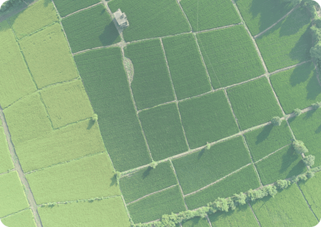
Agricultural drones provide growers, service providers, and agricultural researchers a fast and efficient way to scout their crops, identify stress, create treatment plans, track plant growth, and much more.
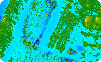
Drone technology in agriculture is growing at faster pace. Using high-resolution RGB cameras and professional multispectral sensors, drones can detect and quantify crop health problems early on. These valuable insights can reduce input costs and boost yield. Multispectral data from drones reveals field variability invisible to the naked eye, which helps you catch diseases early, respond, and improve your yields.

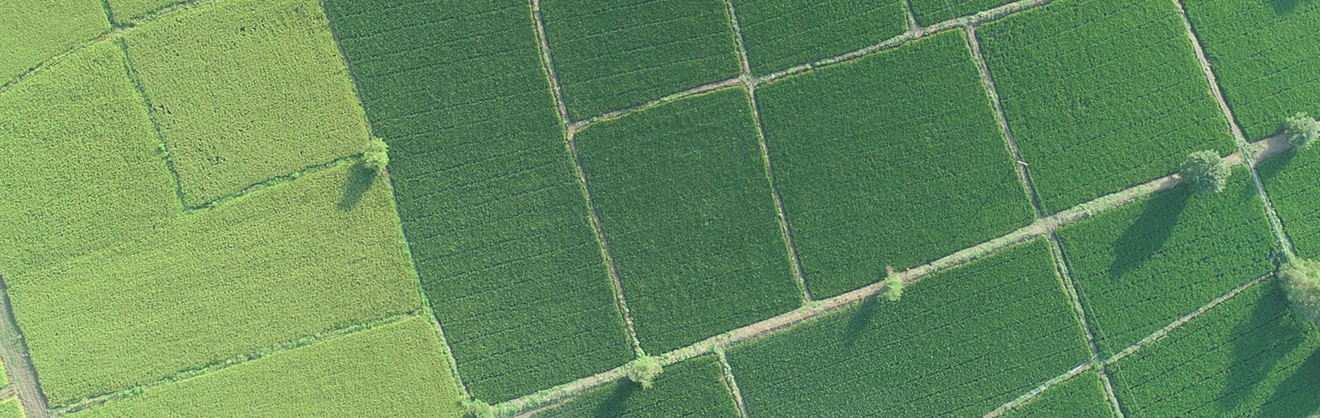
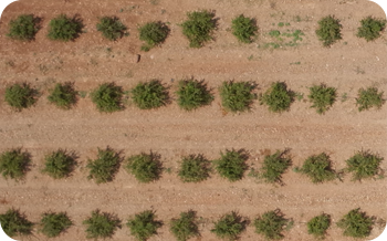
Drones provide an immediate snapshot of a field in a fraction of the time it would take to scout on foot. Cover hundreds of hectares in a single flight, capturing data that helps detect and identify variability and areas of crop stress.
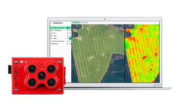
Use drone data to generate prescription maps and plans, focusing treatments more efficiently and reducing costs. Gain insights that complement other agronomic tools. Drone data can direct you to the best places to sample, saving time and money.

Periodic capture of calibrated data from professional multispectral sensors offers insights into crop health regardless of illumination changes, giving you the needed data to derive quantitative trends.
A quality of big drone and multispectral camera system can detect disease and stress early (sometimes before it is visible from the ground or with standard color cameras). Use this information, coupled with proven agronomic methods, to focus your treatment plans.
Use drone maps, digital surface models, and terrain models for irrigation and drainage management. Multispectral data can also help identify leaky irrigation pipes or areas that need more water.
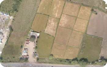
Drone data provides critical information for measuring and documenting damage to crops caused by floods, fire, pests, weather events, etc. These reports can complement and reinforce insurance claims.
High resolution cameras on drones, and plant-counting algorithms can accurately and efficiently provide inventory information, track crop emergence, drive replanting decisions and help predict yield.
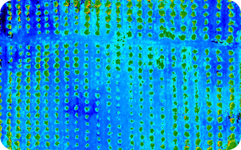
We use MicaSense Red Edge to capture Images from Drones. We provide Georeferenced Images in 5 bands namely RED , GREEN , BLUE , REDEDGE , NIR
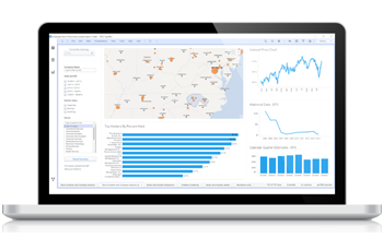
The Multispectral Data Collected from Drones is then hosted on our Cloud Platform so that clients can easily view and access the Data for crop yield and problems.