We bank on the land for almost everything we have, no two sectors amplify the spectrum of our dependence and complicated relationship with the ground below us more than mining and agriculture.
| URBAN DEVELOPMENT | TRANSPORT | MINING |
MINING
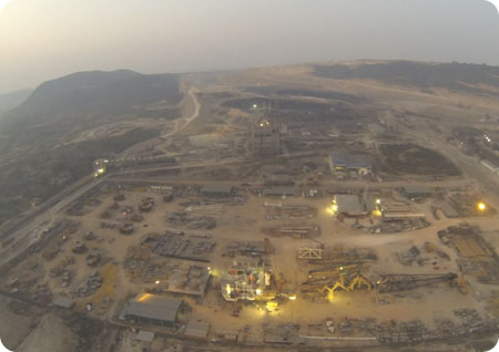
Drone survey has become an integral part of the mining industry delivering accurate results much faster than the conventional survey methods while being much cheaper than other expensive options such as Lidar survey. Our solutions help mining industry companies to do site monitoring digitize their lease areas, identify illegal encroachment and carry out inspection of plant areas. We provide insights from 3D visualization of mines to ensure robust inventory management and safety reviews.
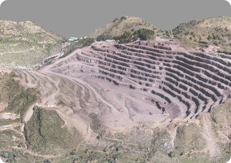
LEASE AREA MAPPING
Airpix has covered more than 25,000 acres of mining lease areas in India working with India's leading companies such as ACC, Ambuja cements, Tata Steel, JSW and many more. We have covered locations across India providing the much critical data required for digitizing their lease r ecords and monitoring illegal mining & encroachment. Our detailed survey provides the companies with the necessary inputs for mining plan preparation, bench analysis, haul road analysis and compliances.
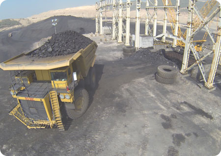
STOCK PILE VOLUME ANALYSIS
Our drone survey based stock volumetric analaysis provides 98% accuracy with actual volumes, which is much higher than what can be realized with conventional total station or DGPS based surveys. The highly dense point cloud and high resolution photography enables to produce data that almost follows the contour of the actual stockpile surface, rather than taking a few points and extrapolating thus generating accurate results. Watch our video here to understand bette
What we offer
98% Accuracy
5x Faster Data Delivery