Drone solutions that deliver analytical geospatial information will shape the smart cities of the future by way of smart land-use governance, digitization of land records and near real-time 3-Dimensional infrastructure insights.
DRONE SURVEY FOR TOWN PLANNING
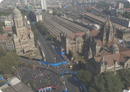
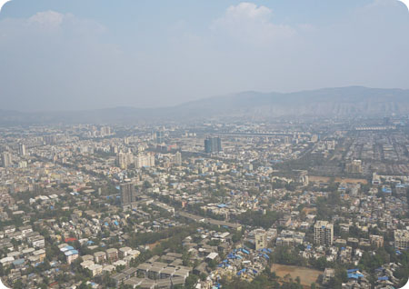
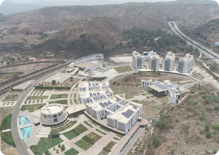
AIRPIX provides drone survey services for town planning, land record digittization and smart city development. Our fleet of fixed wing & multi-rotor drones and drone pilots can cover square kilometers of area in a day and deliver you with high resolution base map down to 2cm GSD. Our team of GIS experts and high end workstations can carry out the necessary photogrammetry processing to deliver 3D city models, orthophotos and GIS feature extraction solutions.
APPLICATIONS OF DRONES
Drone survey and drone videos can be used at different stages of town planning, smart city development and land records management. While 3D models and high resolution base map help in carrying out the initial survey required for quick planning and designing, drone videos with geotagged information can help in project monitoring and implementation. Further, once the base map of a city is prepared, it can then be integrated with cadastral maps and geospatial information to be leveraged for multiple applications such as property tax collection, large infrastructure development, solar rooftop potential estimation, roads & metro development and more.
ADVANTAGES OF DRONES
Our drone survey solutions for town planning helps our clients with saving time, money and have access to better data. While other remote sensing options such as satellite imagery provides you with about 30cm resolution data, we provide you with more than 10 times better resolution and accuracy. Conventional survey methods such as DGPS and TS takes more time in data collection as well as processing, while drone surveys help you realize at least 5x faster data delivery. Further, since the data is generated from actual imagery, it brings in better transparency.