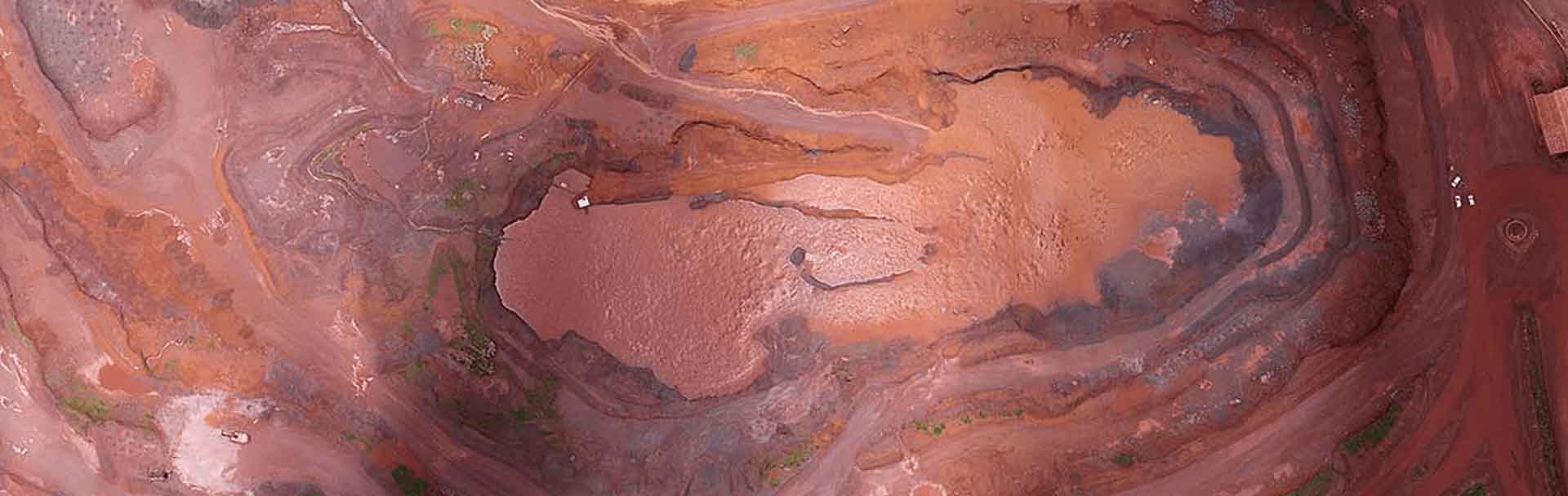
Orthorectification services and Drone data, as well as GIS data acquisition and UAV imagery, play an important role in general mapping. First, they help provide a solid visual effect. When they see images, most people are more capable of putting ideas into context. Therefore, providing a basis for collecting information is the secondary and perhaps more important function. Features such as streets, trees, and irrigation are examples of this. The image data must be processed in a way that avoids noise before this information can be obtained in a manner that is usable for mapping or orthorectification. This process is commonly known as orthorectification. Without the orthorectification method, you would not be able to measure lengths, angles, locations, and areas clearly and precisely.
Orthorectification is basically the process of removing geometric errors such as Camera orientation with Systematic error associated with camera/lens distortion etc. It also helps in Relief displacement and measuring Earth curvature. orthorectification helps in rectifying the Earth's surface for measuring Earth's flexure.
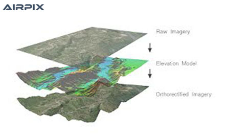
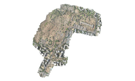
Orthorectification can be generated by an elevation model (DEM) and an aerial photo. The elevation generated by an elevation model (DEM) and an aerial photo. The elevation model can be generated by the same stereoscopic photographs, so no model can be generated by the same stereoscopic photographs, so no other source of data is needed. other source of data is needed. Shows photographic detail without errors caused by tilt and displacement. An ortho-rectification product blends with the benefits of a map (constant size, projection) with those of a picture (photographic accuracy and detail)

Orthophoto Producing and Orthorectification are produced by first obtaining or generating a DEM of the orthophotos which are produced by first obtaining or generating a DEM of the area. This elevation information is then used to remove the elevation area. The development of orthophotos has two main approaches; forward orthorectification projection and backward orthorectification projection.