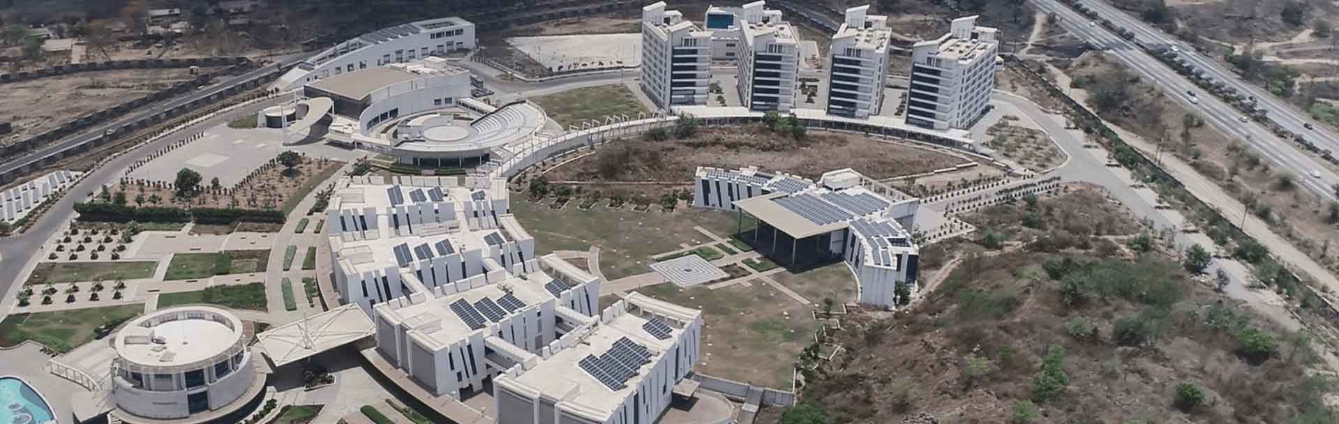
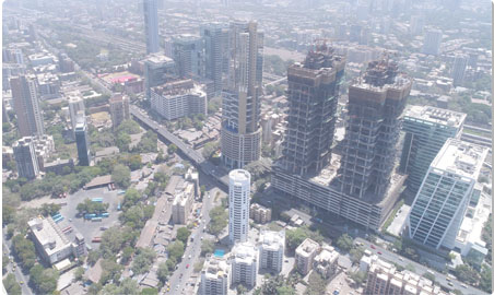
3D construction models are useful for many purposes, including urban planning and modeling of the environment, cartography, tourism, and smartphone navigation. Automatically generating building models in the form of 3D CAD representation is the major part of city modeling and a challenge for many researchers.
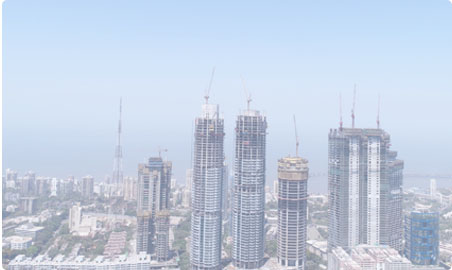
UAV Drone scanning results in high-quality geometrical information about the landscape. Due to its high density and geometrical precision, it is ideal for the reconstruction of 3D objects like buildings 3D designs are a great way to imagine the object's 3 dimensionalities. On all your maps, 3D models will be created automatically.
Active methods, i.e. range information methods, given the depth map, reconstruct the 3D profile by numerical approximation approach and build the object in scenario based on the model. These methods consistently interfere with the reconstructed object, either mechanically or radiometrically using rangefinders, in order to acquire the depth map, e.g. structured light, laser range finder, and other sensing techniques. An easy example of a mechanical method would use a depth gauge to measure a distance to a rotating object put on a turntable.
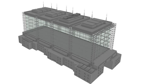
Enhanced 3D Mode captures oblique images from the perimeter of your mission plan, facing towards the center of your subject and being careful not to include the horizon in the shots. This feature is only supported by drones. Any drone will be incompatible with enhanced 3D mode.