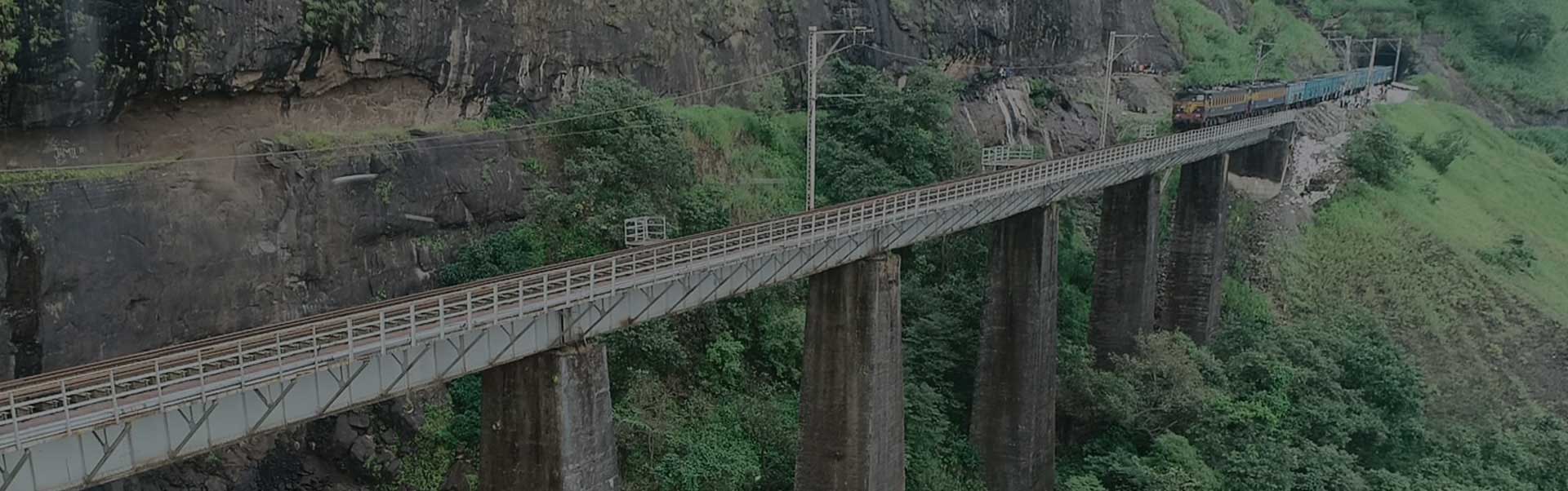
India has the largest railway network in Asia. With the viable industrial development and population, the aspect of railways in transportation is going to be crucial for the coming years. The problem associated with the rapid expansion of railway networks in the country has been the slow progress of the projects due to hindrances at a site such as a delay in land acquisition, illegal encroachment, etc. Such problems are better considered and resolved when you have visual data like photos or videos of the project site.UAVs offer a great tool to capture the project’s visuals quickly and easily. The imagery/video collected using a UAV is up to date and provides oblique information about the site, unlike satellite imagery. The high-resolution imagery and the exact processed outputs help to capture & measure the certain status of the project without having to physically visit the site. The data capture also helps to monitor the changes at the project site and also highlight any major hindrances to the project.
Airpix offers an extensive solution to Indian Railways catering to Project site monitoring, Project Planning and Project Construction. Our professional data collection and planning team ensures that the work on the site is completed quickly and with maximum safety, without compromising on the quality of the data collected.. Our experienced Data processing and GIS engineers make sure that the clients get most out of the data collected.
As of January 2018, the agriculture sector’s contribution to India’s GDP was 17–18 percent, according to India Economic Survey 2018. Given the importance of agriculture in the economy of India, the 2003 NSS 59th assessment of the sector should be worrisome because it reveals that 40 percent of Indian farmers would rather be in some other profession and not farming. One of the primary reasons for this disgruntlement is declining returns on investment (ROIs) and other problems such as crop diseases and improper planning of resources.
The use of agriculture drones can take care of a lot of problems that currently plague the sector, including crop health monitoring, crop treatment, and crop scouting, and the importance of these unmanned aerial vehicles (UAVs) has been recognized by both governments and startups.
Dedicated Freight Corridor Corporation of India Ltd. (DFCCIL) is established by Indian Railways for construction, operation and maintenance of the dedicated freight corridors linking the four metro cities of Mumbai, Delhi, Howrah, and Chennai. Totaling to about 10,000km, this Golden Quadrilateral is a crucial part of India’s growth and development.
AIRPIX provided drone-based project monitoring and site analysis solution to Western Corridor’s 421km stretch from JNPT to Vadodara with quarterly reporting and status based on chainage, ROB, RUB and other critical locations, thus giving critical insights to higher authorities, Government officials and stakeholders