The increase in drone technology in agriculture sector is a positive trend, as it is the solution to
feed the teeming population. Food security is a question that needs to be addressed, in the background
of environmental degradation, pollution, and water scarcity, and an effective solution is a high
priority. This is where the usage of Drone can assure a sustainable solution.
Drones in agriculture can kindle a big change in improving the efficiency of agriculture. Drones are an
alternative to the lack of skilled human resources and also to other heavy machines and tools. To a very
good extent, it is a cheap and economical way to manage to farm.
As of January 2018, the agriculture sector’s contribution to India’s GDP was 17–18 percent, according to
India Economic Survey 2018. Given the importance of agriculture in the economy of India, the 2003 NSS
59th assessment of the sector should be worrisome because it reveals that 40 percent of Indian farmers
would rather be in some other profession and not farming. One of the primary reasons for this
disgruntlement is declining returns on investment (ROIs) and other problems such as crop diseases and
improper planning of resources.
The use of agriculture drones can take care of a lot of problems that currently plague the sector,
including crop health monitoring, crop treatment, and crop scouting, and the importance of these
unmanned aerial vehicles (UAVs) has been recognized by both governments and startups.
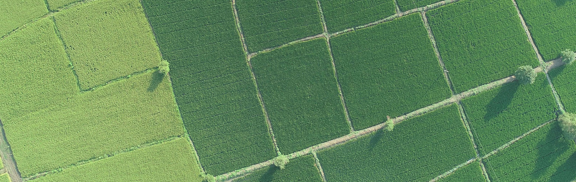
The Airpix system utilizes precision agriculture applications to assess crop health and spot bacterial
or fungal infections on trees. By examining a crop using visible as well as near-infrared light
Airpix Drone carries devices that can identify which plants reflect different amounts of green light and
NIR light. This data can produce multispectral images that track changes in plants and indicate their
health. A speedy response can save an entire field
Airpix Drones with hyperspectral, multispectral, and thermal sensors can identify which parts of a field
are dry or need improvements.
Airpix Drones Solutions allow the calculation of the vegetation index, which describes the relative
density and health of the crop, and show the heat signature, the amount of energy or heat the crop
emits.
We offer payloads to capture data in Visible and NIR spectrum which helps capture data that’s not
visible to the naked eye.
With the technology, we provide you can obtain high-resolution orthophotos in visible and false colors.
We also process images to provide NDVI images for a better understanding of your farmland.