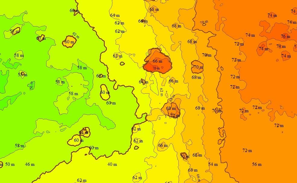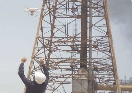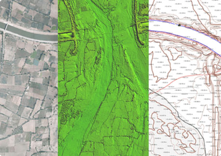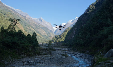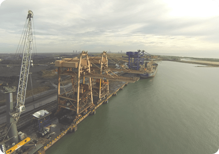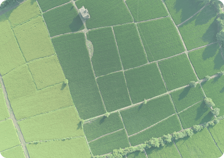

Drone Survey In India
Perform fast and cost-effective drone survey and topographic land surveying
Contact Us
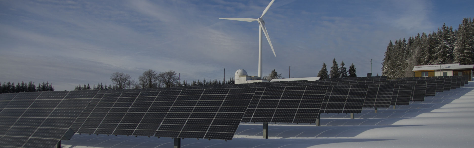
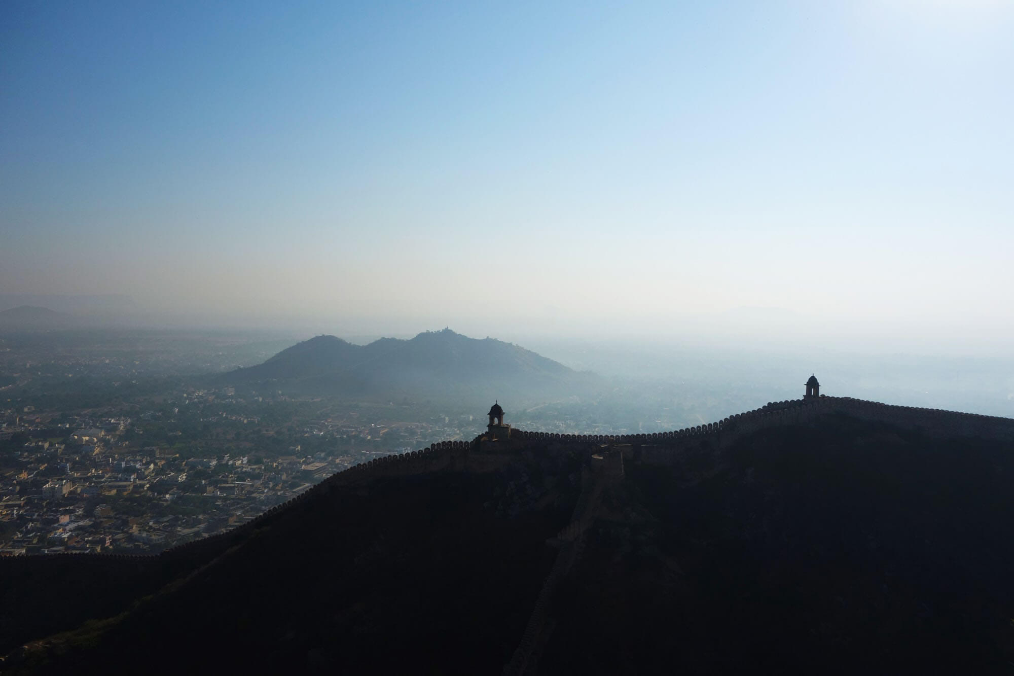
Wind Turbine Inspections and Monitoring
Safe and fast inspection services and factual reporting of Wind Turbines
Contact Us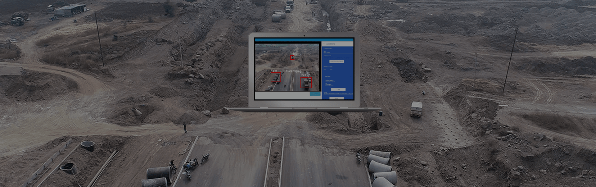
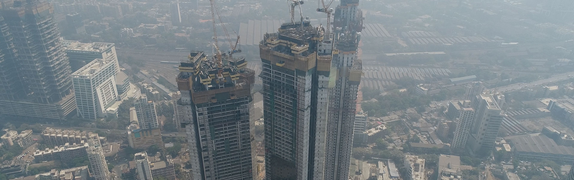
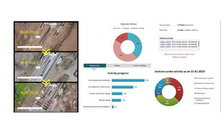
Project Monitoring Application
Tag & track objects, insert data, locate data interactively and collaborate with teams for better project progress monitoring with drone data